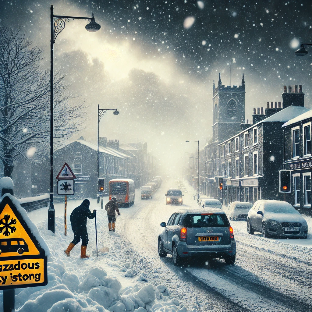
The Met Office has issued a yellow weather warning for snow and ice across parts of the United Kingdom this weekend. Forecasters have warned that Yorkshire and the Humber, Northwest England, and Northeast England will experience adverse weather conditions between 6 AM and 2 PM on Saturday.
What to Expect?
According to meteorologists, a cold front is expected to bring snowfall, icy roads, and potential freezing rain, creating hazardous conditions for travelers. Higher altitudes, particularly over the Pennines, could witness significant snowfall accumulation, while lower areas may experience sleet and icy patches.
The Met Office warns that freezing rain could occur in some regions, leading to dangerously slippery surfaces. This phenomenon happens when supercooled water droplets freeze upon contact, creating a thin, nearly invisible ice layer that makes walking and driving extremely dangerous.
Regions Affected by the Warning
The current warning applies to:
- Yorkshire and the Humber
- Northwest England
- Northeast England
Local authorities have advised residents to stay cautious, limit travel unless necessary, and be prepared for potential disruptions due to icy conditions on roads and pavements.
Travel Disruptions Expected
With snowfall and ice on the way, road, rail, and air travel could be affected in the impacted regions. Motorists are urged to drive carefully, keep extra distance between vehicles, and ensure their vehicles are equipped with winter essentials, including de-icers, blankets, and emergency supplies.
Train services may also experience delays and cancellations, especially in areas with significant snowfall or ice accumulation on tracks. Travelers are advised to check updates from National Rail and local transport services before starting their journeys.
Health and Safety Advisory
The UK Health Security Agency (UKHSA) has issued a cold weather alert, highlighting increased risks for elderly individuals, young children, and those with pre-existing health conditions. People are encouraged to keep their homes warm, check on vulnerable neighbors, and dress appropriately when venturing outside.
Weekend Weather Forecast
- Friday, February 16 – Chilly with cloudy spells, highs of 6°C (43°F).
- Saturday, February 17 – Snow and ice expected, highs of 3°C (37°F), lows dropping to -1°C (30°F).
- Sunday, February 18 – Cloudy with possible snow showers, highs of 5°C (41°F).
Precautionary Measures
To stay safe during this period, follow these essential tips: ✔ Check weather updates regularly from the Met Office. ✔ Avoid unnecessary travel and take extra caution if driving. ✔ Wear appropriate winter clothing, including layers and waterproof gear. ✔ Keep emergency supplies handy in case of power outages or roadblocks. ✔ Check on elderly family members and neighbors who may need assistance.
Conclusion
As winter weather takes hold, it is crucial to remain prepared and vigilant. With snow and ice expected to impact daily life, residents should stay updated, follow safety guidelines, and take necessary precautions to minimize risks.
For the latest updates on the weather warning, visit the Met Office website or follow official social media channels for real-time alerts.
Stay safe and stay warm!
For more weather news and updates, keep following Focus Global News.